


![Big Brother Recap: Lauren’s Snoozy HOH Comes to an End, as [Spoiler] Is Evicted From the House](https://tvline.com/wp-content/uploads/2025/07/Big-brother-eviction-week-3.png?#)


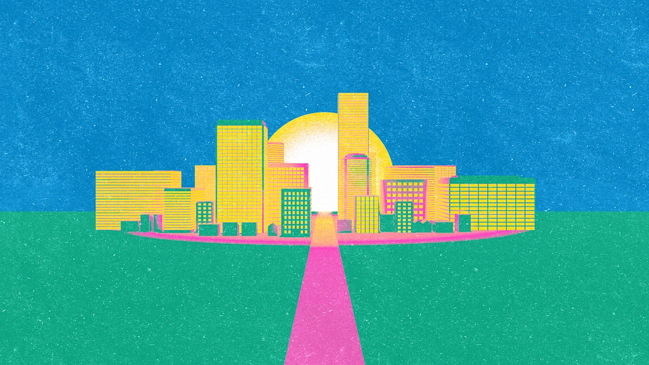
City planning without permission
When I worked as a corporate consultant, I had access to all sorts of enterprise software packages that would’ve been cost-prohibitive to most people, but that didn’t stop me from trying out free programs. Especially if it meant I could dabble in someone else’s area of expertise without getting permission for a software seat license.
If you’re an armchair urbanist or moonlight as a community activist, you know how important it is to maximize your impact with limited time. I’ve been there, I’m still there, and I can help. There’s a treasure trove of free web tools online related to urbanism. I don’t know of anyone using all of these all the time, but I use some of these every week. Use these resources to demonstrate expertise in your amateurbanism work.
“Amateurbanism” is not a dig at people who aren’t working professionally in planning, design, or engineering. As someone who gets paid to plan and implement great street networks for all ages and abilities, I want amateur urbanists to be equipped for conversations and presentations about creating happy, healthy communities.
Google Maps
Many earthlings have used Google products, and the satellite views and street views are great ways to ground a conversation about project sites and travel routes. I find that a lot of people don’t realize Google Maps has drawing tools, so you can illustrate proposed locations for community gardens, protected bike lanes, festival street closure areas, etc. This is ideal for location-based projects.
Google Earth
Google Earth brings in the 3D visualization of terrain and buildings. You can model things like where a new playground structure could fit in a park, granny flat additions in backyards, or simulate the changes brought by a proposed rezoning. The measurements also help with space planning.
OpenStreetMap
Anyone can add overlooked details like accessibility obstacles, safety concerns, parking availability, EV charging infrastructure, and much more to OpenStreetMap. This is a great tool to engage your email list, organization members, or friends. Your team can generate maps that reflect your knowledge and pro-community bias.
Envision Tomorrow
This is a scenario planning tool funded by the Department of Housing and Urban Development (HUD). It models the impacts of growth and development scenarios on factors like land consumption, transportation habits, greenhouse gases, and affordability. If you’re comfortable with Google Maps, you’ll be fine here. You might use Envision Tomorrow to analyze or critique a zoning ordinance, downtown revitalization plan, or transportation plan.
Walk Score
You’ve probably heard of the site that evaluates neighborhood walkability based on proximity to everyday destinations. (They also include bike and transit scores.) This helps assess site accessibility when reviewing development proposals to advocate for community needs like locating affordable housing near transit. But it’s also a great conversation starter at a county or city level. Realtors love this reference and so should you.
Streetmix
Streetmix is collaborative street design between residents and city planners. You can model traffic-calming measures, sidewalk expansions, and storefront space. If it’s a great neighborhood street idea, it’s designable in Streetmix.
- highway lighting versus pedestrian lighting
- sharrows versus bike lanes
- multiuse paths versus sidewalk–bike lane combos
- right-sized vehicle lanes versus deadly-sized vehicle lanes
I can’t overhype Streetmix. They make it shockingly simple to expose the silliness of Departments of Transportation (DOTs) while inspiring alternatives to the same old junk infrastructure.
Canva
Canva turns you into a professional designer. Their templates, graphics, and text options are more than you’ll ever need for slide decks, reports, social media content, and memes. Use Canva for outreach campaigns, events, ideas, and causes. In fact, stop reading this post, open Canva, and make something.
SketchUp
SketchUp is a powerful 3D modeling tool, but does have a learning curve. I’ve seen it used for park proposals and streetscape ideas for public meetings. But my favorite is when developers use it to illustrate the not-too-scary density of commercial buildings and multifamily housing.
UrbanSim
If you’re comfortable with GitHub and coding, then UrbanSim might be a playground for you. The models begin with detailed data about a region, and then estimate and validate interconnected model components. Public agencies and consultants use this to model how land use policies and transportation changes could impact housing affordability, environmental sustainability, traffic patterns over time, and more. The core platform is open source. It’s a higher learning curve, but I thought it was worth including.
All right, go out there and digitize your urbanism ideas.
What's Your Reaction?
 Like
0
Like
0
 Dislike
0
Dislike
0
 Love
0
Love
0
 Funny
0
Funny
0
 Angry
0
Angry
0
 Sad
0
Sad
0
 Wow
0
Wow
0